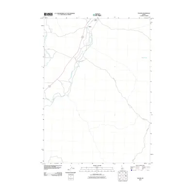
2010 Map of Pagari
USGS Topo · Published 2010About this map
The Pagari settlement in Lincoln County serves as a focal point for this high-desert landscape in southern Idaho. The geography is defined by the winding course of the Little Wood River, which flows southwest through the quadrangle, and its associated drainage features like the Jim Burns Slough. The infrastructure reflects a sparsely populated agricultural or ranching environment, with Pagari Bridge providing a key crossing point for local transit.
Find a feature on this map
9 named features on this map. Tap any name to fly to it.
Don’t see what you’re looking for? This feature index may not catch every label — zoom into the map to look around manually.
Map Details
Editions of this 2010 Pagari Map
This is the sole edition of this map. No revisions or reprints were ever made.
Other maps of this area

1954 · Pocatello
USGS Topo · 1:250,000

1955 · Idaho Falls
USGS Topo · 1:250,000

1955 · Twin Falls
USGS Topo · 1:250,000

1955 · Hailey
USGS Topo · 1:250,000

1958 · Twin Falls
USGS Topo · 1:250,000

1958 · Idaho Falls
USGS Topo · 1:250,000

1958 · Pocatello
USGS Topo · 1:250,000

1959 · Hailey
USGS Topo · 1:250,000

1962 · Hailey
USGS Topo · 1:250,000

1971 · Owinza
USGS Topo · 1:24,000