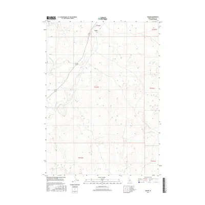
2017 Map of Pagari
USGS Topo · Published 2017About this map
The settlement of Pagari anchors this portion of the Idaho landscape, situated where the high desert terrain is punctuated by significant hydrological features. The Little Wood River meanders through the western half of the map, creating a riparian corridor that contrasts with the surrounding township blocks. Smaller water features like Jim Burns Slough and the isolated Crater Lake to the east suggest the complex drainage patterns of this volcanic region. The presence of established county roads, including Riley Rd and E 1220 N, indicates a surveyed grid system typical of the West, facilitating access to the scattered homesteads and ranching lands that define the local economy. This 2017 data reflects the modern configuration of the Little Wood River valley before further regional development or changes in water management occurred.
Find a feature on this map
14 named features on this map. Tap any name to fly to it.
Don’t see what you’re looking for? This feature index may not catch every label — zoom into the map to look around manually.
Map Details
Editions of this 2017 Pagari Map
This is the sole edition of this map. No revisions or reprints were ever made.
Other maps of this area

1954 · Pocatello
USGS Topo · 1:250,000

1955 · Idaho Falls
USGS Topo · 1:250,000

1955 · Twin Falls
USGS Topo · 1:250,000

1955 · Hailey
USGS Topo · 1:250,000

1958 · Twin Falls
USGS Topo · 1:250,000

1958 · Idaho Falls
USGS Topo · 1:250,000

1958 · Pocatello
USGS Topo · 1:250,000

1959 · Hailey
USGS Topo · 1:250,000

1962 · Hailey
USGS Topo · 1:250,000

1971 · Owinza
USGS Topo · 1:24,000