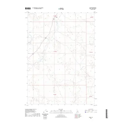
2020 Map of Pagari
USGS Topo · Published 2020About this map
Pagari sits at the northern edge of this Idaho landscape, where the high desert meets a complex network of agricultural irrigation and natural waterways. The Little Wood River meanders from the north, its path paralleled by human-made infrastructure like Lateral 252. This area represents a critical intersection of natural hydrology and managed water resources, as seen in the presence of Jim Burns Slough and the isolated Crater Lake. The township and range lines of T3S through T5S provide a rigid framework over the undulating terrain of Lincoln County, documenting the surveyed division of land that defines the rural West. Settlement is sparse, with the map focusing on the distribution of water across the plains and the straight-line grid of local routes like Riley Rd.
Find a feature on this map
16 named features on this map. Tap any name to fly to it.
Don’t see what you’re looking for? This feature index may not catch every label — zoom into the map to look around manually.
Map Details
Editions of this 2020 Pagari Map
This is the sole edition of this map. No revisions or reprints were ever made.
Other maps of this area

1954 · Pocatello
USGS Topo · 1:250,000

1955 · Idaho Falls
USGS Topo · 1:250,000

1955 · Twin Falls
USGS Topo · 1:250,000

1955 · Hailey
USGS Topo · 1:250,000

1958 · Twin Falls
USGS Topo · 1:250,000

1958 · Idaho Falls
USGS Topo · 1:250,000

1958 · Pocatello
USGS Topo · 1:250,000

1959 · Hailey
USGS Topo · 1:250,000

1962 · Hailey
USGS Topo · 1:250,000

1971 · Owinza
USGS Topo · 1:24,000