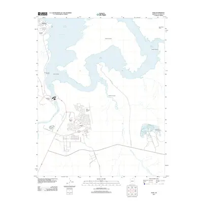
2011 Map of Page
USGS Topo · Published 2011About this map
The town of Page occupies the high ground of Manson Mesa in this early 21st-century survey, overlooking the complex shorelines of Lake Powell. The map illustrates the region's heavy reliance on tourism and energy, with the Glen Canyon Generating Station situated to the east and the extensive Wahweap Lodge and Marina serving boaters to the northwest. The local aviation infrastructure is well-defined by both the Page Municipal Airport and the smaller Wahweap Airport. Below the massive dam structure, the Colorado River winds southward, while the intricate drainage of Antelope Creek feeds into the famous Antelope Canyon. Notable landmarks such as Sentinel Rock and Beehive Rock stand out against the blue expanse of Wahweap Bay, providing fixed points in a landscape shaped by the reservoir's varied water levels.
Find a feature on this map
36 named features on this map. Tap any name to fly to it.
Don’t see what you’re looking for? This feature index may not catch every label — zoom into the map to look around manually.
Map Details
Editions of this 2011 Page Map
2 editions found
Other maps of this area

1886 · Escalante
USGS Topo · 1:250,000

1886 · Echo Cliffs
USGS Topo · 1:250,000

1891 · Echo Cliffs
USGS Topo · 1:250,000

1922 · Warm Creek
USGS Topo · 1:63,360

1951 · Lees Ferry NE
USGS Topo · 1:24,000

1953 · Nipple Butte
USGS Topo · 1:62,500

1953 · Gunsight Butte
USGS Topo · 1:62,500

1954 · Lees Ferry SE
USGS Topo · 1:24,000

1954 · Leche-E Rock
USGS Topo · 1:62,500

1954 · Lees Ferry
USGS Topo · 1:62,500