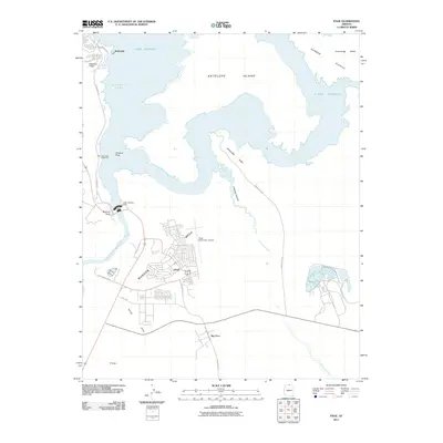
2011 Map of Page
USGS Topo · Published 2011About this map
The Glen Canyon Dam anchors this 2011 survey, marking the transition between the impounded waters of Lake Powell and the Colorado River downstream. To the south, the city of Page sits atop Manson Mesa, showing a dense residential grid and the Page Municipal Airport. This settlement, originally built to house workers for the dam project, serves as a gateway to the surrounding recreation areas, including the Wahweap Lodge and Marina and the settlement of Wahweap near the northern border.
Find a feature on this map
27 named features on this map. Tap any name to fly to it.
Don’t see what you’re looking for? This feature index may not catch every label — zoom into the map to look around manually.
Map Details
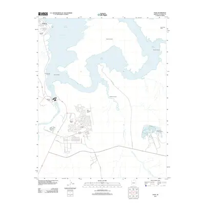
Editions of this 2011 Page Map
2 editions found
Other maps of this area

1886 · Escalante
USGS Topo · 1:250,000

1886 · Echo Cliffs
USGS Topo · 1:250,000

1891 · Echo Cliffs
USGS Topo · 1:250,000

1922 · Warm Creek
USGS Topo · 1:63,360

1951 · Lees Ferry NE
USGS Topo · 1:24,000

1953 · Nipple Butte
USGS Topo · 1:62,500

1953 · Gunsight Butte
USGS Topo · 1:62,500

1954 · Lees Ferry SE
USGS Topo · 1:24,000

1954 · Leche-E Rock
USGS Topo · 1:62,500

1954 · Lees Ferry
USGS Topo · 1:62,500