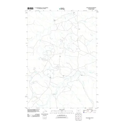
2011 Map of Page Draw
USGS Topo · Published 2011About this map
The Little Missouri River and its intricate drainage system, including the North Fork Little Missouri River, define this rangeland landscape along the Montana-Wyoming border. Named for the Page Draw drainage, the area shows a distinct pattern of land use centered on water access and livestock ranching. Significant local landmarks such as Jackson Ranch, Dewitt Ranch, and Maurer Ranch are connected by a network of local tracks and the prominent Lobban Rd. The influence of early 21st-century water management is evident at the Kajan Diversion Dam, while the presence of the Missouri Mine north of Sage Creek points to the region's mineral interests. The terrain is marked by significant geographic features like Big Draw and the winding paths of Lindsey Creek and Bronco John Creek, which carve through the high plains toward the river valley.
Find a feature on this map
15 named features on this map. Tap any name to fly to it.
Don’t see what you’re looking for? This feature index may not catch every label — zoom into the map to look around manually.
Map Details
Editions of this 2011 Page Draw Map
This is the sole edition of this map. No revisions or reprints were ever made.
Other maps of this area

1905 · Devils Tower
USGS Topo · 1:125,000

1954 · Strawberry Hill
USGS Topo · 1:24,000

1954 · Ekalaka
USGS Topo · 1:250,000

1954 · Gillette
USGS Topo · 1:250,000

1955 · Gillette
USGS Topo · 1:250,000

1956 · Ekalaka
USGS Topo · 1:250,000

1957 · Seely
USGS Topo · 1:62,500

1957 · Cedar Ridge
USGS Topo · 1:62,500

1958 · Gillette
USGS Topo · 1:250,000

1958 · Ekalaka
USGS Topo · 1:250,000