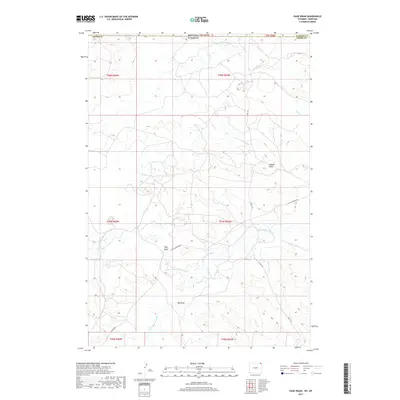
2017 Map of Page Draw
USGS Topo · Published 2017About this map
The Little Missouri River and its upper tributaries carve through this high-plains landscape along the border of Montana and Wyoming. The namesake settlement of Page Draw sits near the confluence of the N Fork Little Missouri River, serving as a focal point in a region defined by seasonal drainages and cattle country infrastructure. This 2017 survey details a remote corner where Carter County, Montana meets Crook County, Wyoming, highlighting the transition from traditional range lands to more modern gravel-access routes like Little Missouri Rd and Jolley Rd. Historically significant landmarks like Scoggin Draw and Big Draw appear alongside named watercourses such as Lindsey Cr and Bronco John Cr, providing essential orientation for land researchers and genealogists tracing ranch boundaries in this sparsely populated borderland.
Find a feature on this map
23 named features on this map. Tap any name to fly to it.
Don’t see what you’re looking for? This feature index may not catch every label — zoom into the map to look around manually.
Map Details
Editions of this 2017 Page Draw Map
This is the sole edition of this map. No revisions or reprints were ever made.
Other maps of this area

1905 · Devils Tower
USGS Topo · 1:125,000

1954 · Strawberry Hill
USGS Topo · 1:24,000

1954 · Ekalaka
USGS Topo · 1:250,000

1954 · Gillette
USGS Topo · 1:250,000

1955 · Gillette
USGS Topo · 1:250,000

1956 · Ekalaka
USGS Topo · 1:250,000

1957 · Seely
USGS Topo · 1:62,500

1957 · Cedar Ridge
USGS Topo · 1:62,500

1958 · Gillette
USGS Topo · 1:250,000

1958 · Ekalaka
USGS Topo · 1:250,000