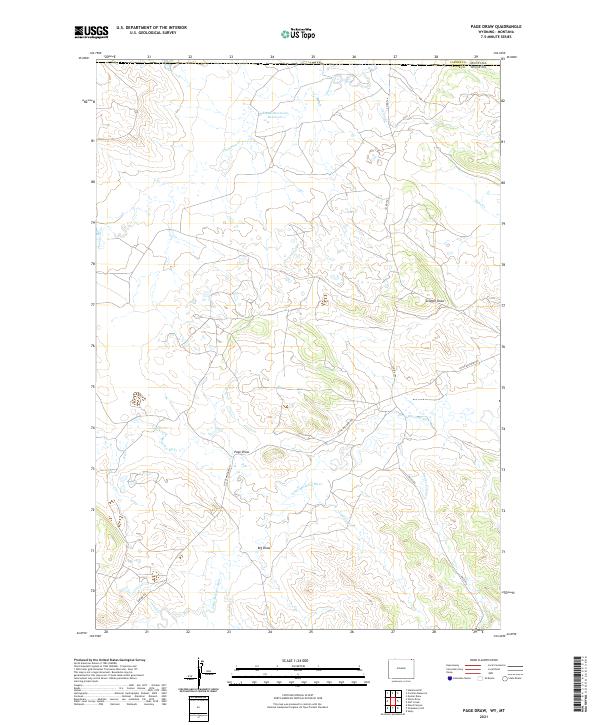
2021 Map of Page Draw
USGS Topo · Published 2021About this map
Little Missouri River flows through the center of this terrain, marking the drainage pattern of the Wyoming-Montana borderlands. The landscape is defined by its deep drainage features, notably Page Draw, Scoggin Draw, and Big Draw, which collect the seasonal runoff of the High Plains. Early 21st-century infrastructure is sparse, characterized by winding local routes like Little Missouri Rd and Jolley Rd that follow the natural contours of the valley floors. In the northern reaches, the Kajan Diversion Reservoir manages the flow of Thompson Cr, reflecting the region's reliance on water management for ranching and land use. The map also traces the North Fork Little Missouri River and several family-named or local landmarks such as Bronco John Cr and Lindsey Cr, providing a detailed view of the remote northern Crook County border area.
Find a feature on this map
24 named features on this map. Tap any name to fly to it.
Don’t see what you’re looking for? This feature index may not catch every label — zoom into the map to look around manually.
Map Details
Editions of this 2021 Page Draw Map
This is the sole edition of this map. No revisions or reprints were ever made.
Other maps of this area

1905 · Devils Tower
USGS Topo · 1:125,000

1954 · Strawberry Hill
USGS Topo · 1:24,000

1954 · Ekalaka
USGS Topo · 1:250,000

1954 · Gillette
USGS Topo · 1:250,000

1955 · Gillette
USGS Topo · 1:250,000

1956 · Ekalaka
USGS Topo · 1:250,000

1957 · Seely
USGS Topo · 1:62,500

1957 · Cedar Ridge
USGS Topo · 1:62,500

1958 · Gillette
USGS Topo · 1:250,000

1958 · Ekalaka
USGS Topo · 1:250,000