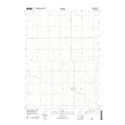
2014 Map of Page
USGS Topo · Published 2014About this map
The settlement of Page serves as the focal point for this section of Holt County, where the plains are organized by a strict grid of county roads. The landscape is defined by the headwaters of the Middle Br Verdigre Cr, which winds through the northeast, and the scattered basins of the Chain Lakes to the southwest. This 2014 survey documents the persistence of small-town Nebraska infrastructure, anchored by the Page Cem on the outskirts of the village. A notable modern transformation is evident in the Cowboy Trl, a recreational path following the former path of the railroad through the heart of the community. The map reveals the relationship between the concentrated township and the expansive agricultural sections surrounding it, marked by numbered avenues and roads like 504th Ave and 868th Rd.
Find a feature on this map
23 named features on this map. Tap any name to fly to it.
Don’t see what you’re looking for? This feature index may not catch every label — zoom into the map to look around manually.
Map Details
Editions of this 2014 Page Map
This is the sole edition of this map. No revisions or reprints were ever made.
Other maps of this area

1954 · Dorsey SW
USGS Topo · 1:24,000

1954 · Opportunity
USGS Topo · 1:24,000

1954 · Star
USGS Topo · 1:24,000

1955 · O'Neill
USGS Topo · 1:250,000

1958 · Inman
USGS Topo · 1:24,000

1958 · Page
USGS Topo · 1:24,000

1959 · O'Neill
USGS Topo · 1:250,000

1963 · Ewing SW
USGS Topo · 1:24,000

1963 · Venus
USGS Topo · 1:24,000

1963 · Ewing
USGS Topo · 1:24,000