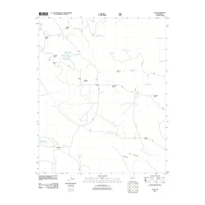
2011 Map of Page
USGS Topo · Published 2011About this map
The Zuni Mountains define the southern reaches of this landscape, with Oso Ridge rising above the surrounding terrain. This high-desert region is marked by a series of family-named settlements and ranches, including Basgal Place, Merrill Place, and Radosevich Ranch, suggesting a legacy of rural livestock operations. The drainage of the Rio Nutria winds across the central portion of the map, supported by numerous water tanks like the Upper Section Nineteen Tank and McKenzie Tank, which are essential for supporting the scattered agricultural and ranching sites. The small settlement of Page sits near the center, connected by early county routes such as Co RD 50. This map provides a clear look at the infrastructure of the area before modern developments significantly altered the traditional ranching patterns of McKinley County.
Find a feature on this map
34 named features on this map. Tap any name to fly to it.
Don’t see what you’re looking for? This feature index may not catch every label — zoom into the map to look around manually.
Map Details
Editions of this 2011 Page Map
This is the sole edition of this map. No revisions or reprints were ever made.
Other maps of this area

1886 · Wingate
USGS Topo · 1:250,000

1892 · Wingate
USGS Topo · 1:250,000

1954 · Gallup
USGS Topo · 1:250,000

1958 · Gallup
USGS Topo · 1:250,000

1959 · Gallup
USGS Topo · 1:250,000

1961 · Cottonwood Canyon
USGS Topo · 1:24,000

1962 · Gallup
USGS Topo · 1:250,000

1962 · Ciniza
USGS Topo · 1:24,000

1962 · Continental Divide
USGS Topo · 1:24,000

1962 · Cottonwood Canyon
USGS Topo · 1:24,000