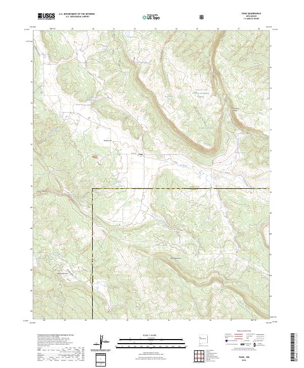
2023 Map of Page
USGS Topo · Published 2023About this map
The Continental Divide winds through this high-elevation landscape on the border of McKinley and Cibola Counties, cutting across a terrain of high ridges and canyon drainages. Much of the area is protected within the Cibola National Forest, where the Zu i Mountains and Oso Ridge define the local topography. This geography is marked by a reliance on water management in an arid climate, evidenced by numerous stock tanks such as the Middle Section Nineteen Tank and Sanchez Tank.
Find a feature on this map
35 named features on this map. Tap any name to fly to it.
Don’t see what you’re looking for? This feature index may not catch every label — zoom into the map to look around manually.
Map Details
Editions of this 2023 Page Map
This is the sole edition of this map. No revisions or reprints were ever made.
Other maps of this area

1886 · Wingate
USGS Topo · 1:250,000

1892 · Wingate
USGS Topo · 1:250,000

1954 · Gallup
USGS Topo · 1:250,000

1958 · Gallup
USGS Topo · 1:250,000

1959 · Gallup
USGS Topo · 1:250,000

1961 · Cottonwood Canyon
USGS Topo · 1:24,000

1962 · Gallup
USGS Topo · 1:250,000

1962 · Ciniza
USGS Topo · 1:24,000

1962 · Continental Divide
USGS Topo · 1:24,000

1962 · Cottonwood Canyon
USGS Topo · 1:24,000