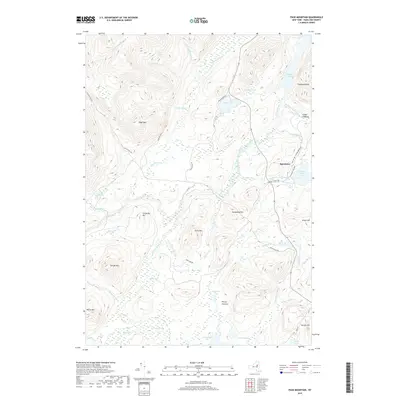
2019 Map of Page Mountain
USGS Topo · Published 2019About this map
Speculator sits at the eastern edge of a high Adirondack landscape defined by an intricate network of wetlands, rivers, and peaks. The drainage patterns of the Miami River and Jessup River dictate the local geography, feeding into prominent water bodies like Mason Lake and the northern reaches of Sacandaga Lake. These waterways are flanked by numerous marshy vlys, including Mossy Vly and Willis Vly, which illustrate the complex hydrology of the Hamilton County backcountry.
Find a feature on this map
52 named features on this map. Tap any name to fly to it.
Don’t see what you’re looking for? This feature index may not catch every label — zoom into the map to look around manually.
Map Details
Editions of this 2019 Page Mountain Map
This is the sole edition of this map. No revisions or reprints were ever made.
Other maps of this area

1899 · Indian Lake
USGS Topo · 1:62,500

1900 · Canada Lake
USGS Topo · 1:62,500

1902 · Indian Lake
USGS Topo · 1:62,500

1903 · West Canada Lakes
USGS Topo · 1:62,500

1904 · Piseco Lake
USGS Topo · 1:62,500

1906 · Piseco Lake
USGS Topo · 1:62,500

1907 · Lake Pleasant
USGS Topo · 1:62,500

1908 · Piseco Lake
USGS Topo · 1:62,500

1950 · Utica
USGS Topo · 1:250,000

1954 · Lake Pleasant
USGS Topo · 1:62,500