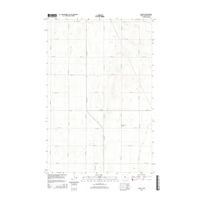
2014 Map of Page SE
USGS Topo · Published 2014About this map
The agricultural landscape of Cornell Township in Cass County is defined by a rigorous section-line grid, typical of the Red River Valley region. This 2014 survey captures a moment when traditional township roads like 20th St SE and 137th Ave SE continue to serve the expansive farmsteads of North Dakota. A notable exception to the rectilinear road network is a sweeping curve that transitions 138th Ave SE into 25th St SE, reflecting local adaptations to the terrain. Aviation history is represented by the Wilcox Farm Airport, a private airstrip that emphasizes the large-scale nature of regional farming operations. The map also documents specific local markers such as 138 1/2 Ave SE, providing a detailed record for genealogists and local historians tracing land use and infrastructure in this part of Cass County.
Find a feature on this map
17 named features on this map. Tap any name to fly to it.
Don’t see what you’re looking for? This feature index may not catch every label — zoom into the map to look around manually.
Map Details
Editions of this 2014 Page SE Map
This is the sole edition of this map. No revisions or reprints were ever made.
Other maps of this area

1895 · Casselton
USGS Topo · 1:125,000

1897 · Tower
USGS Topo · 1:125,000

1897 · Casselton
USGS Topo · 1:125,000

1952 · Grand Forks
USGS Topo · 1:250,000

1953 · Fargo
USGS Topo · 1:250,000

1956 · Fargo
USGS Topo · 1:250,000

1956 · Grand Forks
USGS Topo · 1:250,000

1966 · Grand Forks
USGS Topo · 1:250,000

1967 · Tower City
USGS Topo · 1:24,000

1967 · Page SE
USGS Topo · 1:24,000