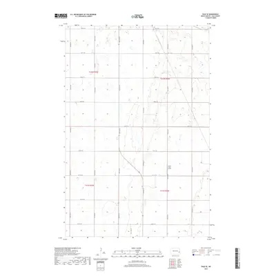
2018 Map of Page SE
USGS Topo · Published 2018About this map
Wilcox Farm Airport stands as the primary landmark in this rural stretch of Cass County, situated near the intersection of 26th St SE and 140th Ave SE. The landscape is defined by the rigid grid of the Public Land Survey System, with township boundaries like t142n r54w and t141n r54w organizing the agricultural expanse. Numerous small prairie potholes and seasonal wetlands are scattered across the terrain, particularly visible between 137th Ave SE and 139th Ave SE. This survey illustrates the modern agricultural continuity of the North Dakota plains, where section lines double as local connectors like 20th St SE and 28th St SE, maintaining a pattern of land division that has persisted since early settlement.
Find a feature on this map
21 named features on this map. Tap any name to fly to it.
Don’t see what you’re looking for? This feature index may not catch every label — zoom into the map to look around manually.
Map Details
Editions of this 2018 Page SE Map
This is the sole edition of this map. No revisions or reprints were ever made.
Other maps of this area

1895 · Casselton
USGS Topo · 1:125,000

1897 · Tower
USGS Topo · 1:125,000

1897 · Casselton
USGS Topo · 1:125,000

1952 · Grand Forks
USGS Topo · 1:250,000

1953 · Fargo
USGS Topo · 1:250,000

1956 · Fargo
USGS Topo · 1:250,000

1956 · Grand Forks
USGS Topo · 1:250,000

1966 · Grand Forks
USGS Topo · 1:250,000

1967 · Tower City
USGS Topo · 1:24,000

1967 · Page SE
USGS Topo · 1:24,000