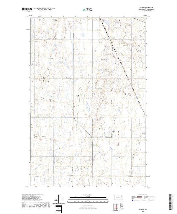
2024 Map of Page SE
USGS Topo · Published 2024About this map
Agricultural landscape and prairie wetlands dominate this portion of Cass County, where the rigid geometry of the Public Land Survey System is etched into the terrain. The township boundaries of t142n r55w, t142n r54w, t141n r55w, and t141n r54w converge here, creating a patchwork of section lines that dictate the placement of rural roads. These gravel routes, such as 138th Ave SE and 24th St SE, navigate around a dense network of small depressions and seasonal water bodies typical of the Red River Valley's periphery. The most notable landmark is the Wilcox Farm Airport, a private airstrip that highlights the region's reliance on aviation for large-scale farming operations and crop management. The map illustrates a contemporary rural environment where the original 19th-century grid remains the primary organizing force for human activity and transportation.
Find a feature on this map
21 named features on this map. Tap any name to fly to it.
Don’t see what you’re looking for? This feature index may not catch every label — zoom into the map to look around manually.
Map Details
Editions of this 2024 Page SE Map
This is the sole edition of this map. No revisions or reprints were ever made.
Other maps of this area

1895 · Casselton
USGS Topo · 1:125,000

1897 · Tower
USGS Topo · 1:125,000

1897 · Casselton
USGS Topo · 1:125,000

1952 · Grand Forks
USGS Topo · 1:250,000

1953 · Fargo
USGS Topo · 1:250,000

1956 · Fargo
USGS Topo · 1:250,000

1956 · Grand Forks
USGS Topo · 1:250,000

1966 · Grand Forks
USGS Topo · 1:250,000

1967 · Tower City
USGS Topo · 1:24,000

1967 · Page SE
USGS Topo · 1:24,000