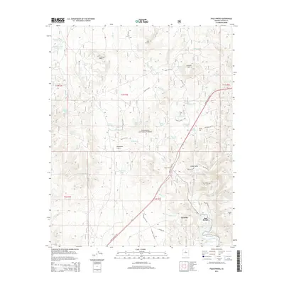
2014 Map of Page Springs
USGS Topo · Published 2014About this map
Page Springs and the surrounding settlement of Cornville are the primary focus of this detailed 2014 survey, which documents the lush riparian corridor along Oak Creek and Spring Creek. The landscape transition is evident as the creek beds cut through the higher desert terrain of the Coconino National Forest. Significant topographic features like House Mountain, Anderson Butte, and the deep recesses of Loy Canyon dominate the northern and eastern portions of the quadrangle.
Find a feature on this map
60 named features on this map. Tap any name to fly to it.
Don’t see what you’re looking for? This feature index may not catch every label — zoom into the map to look around manually.
Map Details
Editions of this 2014 Page Springs Map
This is the sole edition of this map. No revisions or reprints were ever made.
Other maps of this area

1887 · Verde
USGS Topo · 1:250,000

1887 · Prescott
USGS Topo · 1:250,000

1892 · Verde
USGS Topo · 1:250,000

1892 · Prescott
USGS Topo · 1:250,000

1905 · Jerome
USGS Topo · 1:125,000

1923 · Camp Verde
USGS Topo · 1:125,000

1932 · Camp Verde
USGS Topo · 1:125,000

1936 · Camp Verde
USGS Topo · 1:125,000

1944 · Clarkdale
USGS Topo · 1:48,000

1944 · Mingus Mountain
USGS Topo · 1:62,500