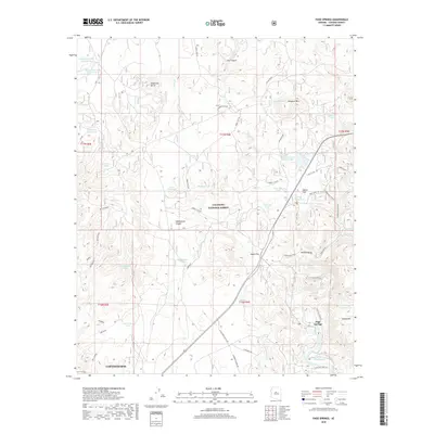
2018 Map of Page Springs
USGS Topo · Published 2018About this map
Page Springs and the northern reaches of Cottonwood anchor this survey of the Verde Valley hinterlands. The landscape transitions from the suburban edges of the city into the protected lands of the Coconino National Forest, where the terrain is marked by significant features like Loy Canyon and Windmill Mtn. Water management is a defining characteristic of this arid region, evidenced by an extensive network of livestock tanks such as Wheatfield Tank Number One and Skeleton Bone Tank, alongside the vital flow of Oak Creek and the man-made Spring Ditch. Historical land use is visible in the presence of a Lime Kiln, suggesting early industrial activity or resource extraction. The map also delineates modern access through a complex of forest service roads including Sycamore Pass Rd and Loy Butte Rd, which navigate the elevation changes between Anderson Butte and Sheepshead Canyon.
Find a feature on this map
60 named features on this map. Tap any name to fly to it.
Don’t see what you’re looking for? This feature index may not catch every label — zoom into the map to look around manually.
Map Details
Editions of this 2018 Page Springs Map
This is the sole edition of this map. No revisions or reprints were ever made.
Other maps of this area

1887 · Verde
USGS Topo · 1:250,000

1887 · Prescott
USGS Topo · 1:250,000

1892 · Verde
USGS Topo · 1:250,000

1892 · Prescott
USGS Topo · 1:250,000

1905 · Jerome
USGS Topo · 1:125,000

1923 · Camp Verde
USGS Topo · 1:125,000

1932 · Camp Verde
USGS Topo · 1:125,000

1936 · Camp Verde
USGS Topo · 1:125,000

1944 · Clarkdale
USGS Topo · 1:48,000

1944 · Mingus Mountain
USGS Topo · 1:62,500