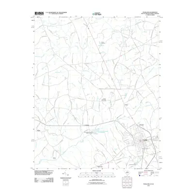
2011 Map of Pageland
USGS Topo · Published 2011About this map
Pageland serves as the primary population center in this 2011 survey of South Carolina's borderlands, showing a dense street grid punctuated by the Pageland Post Office and local landmarks like the Pageland Cemetery and Rose Hill Cemetery. The surrounding landscape is characterized by a network of rural settlements, including Crowburg, Dudley, and High Point, connected by roads named for local families such as Jack Davis Rd and Sara Hinson Rd.
Find a feature on this map
122 named features on this map. Tap any name to fly to it.
Don’t see what you’re looking for? This feature index may not catch every label — zoom into the map to look around manually.
Map Details
Editions of this 2011 Pageland Map
This is the sole edition of this map. No revisions or reprints were ever made.
Other maps of this area

1941 · Spartanburg
USGS Topo · 1:250,000

1953 · Spartanburg
USGS Topo · 1:250,000

1960 · Spartanburg
USGS Topo · 1:250,000

1963 · Spartanburg
USGS Topo · 1:250,000

1964 · Spartanburg
USGS Topo · 1:250,000

1968 · Jefferson
USGS Topo · 1:24,000

1968 · Jefferson NE
USGS Topo · 1:24,000
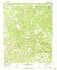
1969 · Taxahaw
USGS Topo · 1:24,000

1970 · Marshville
USGS Topo · 1:24,000
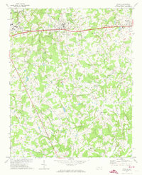
1970 · Wingate
USGS Topo · 1:24,000