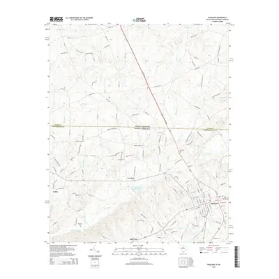
2014 Map of Pageland
USGS Topo · Published 2014About this map
Pageland sits at a critical junction in Chesterfield County, serving as a hub where the Pageland Hwy meets several regional arteries just south of the North Carolina South Carolina border. The landscape is defined by the headwaters of numerous creeks, including Lanes Cr and Hills Creek, which carve through the terrain. Evidence of the area's agricultural and social history is found in the many family-named roads like Belk Mill Rd and Mangum School Rd, alongside several historic burial grounds such as Greenlawn Cem and Rose Hill Cem. The town's layout reflects its growth near the state line, with the Hill Creek Watershed One Reservoir providing a significant hydrological feature to the southwest of the main settlement. Smaller communities like Crowburg and Dudley illustrate the dispersed rural settlement patterns typical of this border region.
Find a feature on this map
127 named features on this map. Tap any name to fly to it.
Don’t see what you’re looking for? This feature index may not catch every label — zoom into the map to look around manually.
Map Details
Editions of this 2014 Pageland Map
This is the sole edition of this map. No revisions or reprints were ever made.
Other maps of this area

1941 · Spartanburg
USGS Topo · 1:250,000

1953 · Spartanburg
USGS Topo · 1:250,000

1960 · Spartanburg
USGS Topo · 1:250,000

1963 · Spartanburg
USGS Topo · 1:250,000

1964 · Spartanburg
USGS Topo · 1:250,000

1968 · Jefferson
USGS Topo · 1:24,000

1968 · Jefferson NE
USGS Topo · 1:24,000
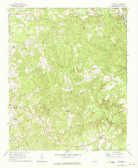
1969 · Taxahaw
USGS Topo · 1:24,000

1970 · Marshville
USGS Topo · 1:24,000
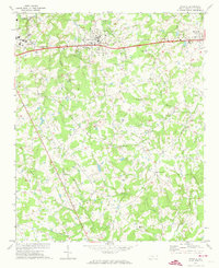
1970 · Wingate
USGS Topo · 1:24,000