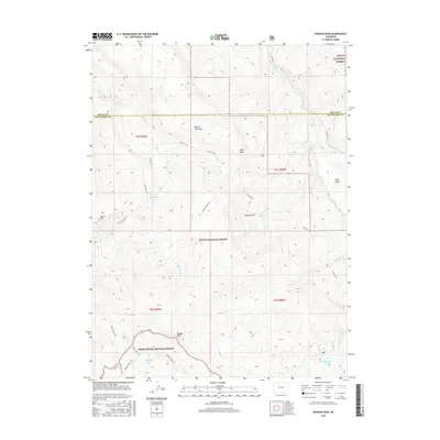
2016 Map of Pagoda Peak
USGS Topo · Published 2016About this map
Pagoda Peak stands as the high point of this high-elevation landscape, marking the boundary between the Routt National Forest and the White River National Forest. The map documents a complex drainage system where the E Fork Williams Fork and Beaver Cr flow across the Beaver Flat Tops. The area's character is defined by its network of trails rather than roads, with the Cyclone Trail and Pagoda Lake Trail providing access to remote water bodies like Pagoda Lake and Vaughan Lake. The high-country topography includes distinctive landforms such as Egry Mesa and Burro Mtn, alongside water management features like Stinsby Reservoir. This 2016 survey illustrates the intersection of Routt and Rio Blanco counties within a largely roadless forest environment focused on watershed preservation and backcountry recreation.
Find a feature on this map
33 named features on this map. Tap any name to fly to it.
Don’t see what you’re looking for? This feature index may not catch every label — zoom into the map to look around manually.
Map Details
Editions of this 2016 Pagoda Peak Map
This is the sole edition of this map. No revisions or reprints were ever made.
Other maps of this area

1916 · Daton Peak
USGS Topo · 1:62,500

1920 · Daton Peak
USGS Topo · 1:62,500

1924 · Mt. Harris
USGS Topo · 1:48,000

1926 · Mount Harris
USGS Topo · 1:62,500

1954 · Craig
USGS Topo · 1:250,000

1957 · Craig
USGS Topo · 1:250,000

1958 · Craig
USGS Topo · 1:250,000

1960 · Craig
USGS Topo · 1:250,000

1962 · Craig
USGS Topo · 1:250,000

1964 · Craig
USGS Topo · 1:250,000