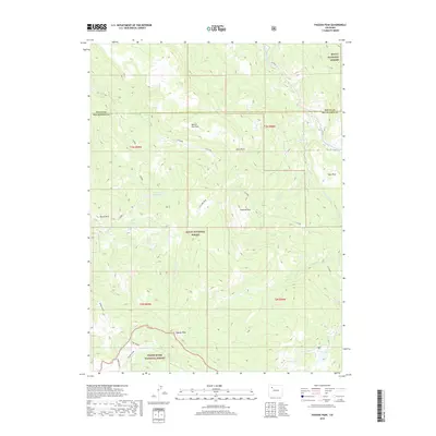
2019 Map of Pagoda Peak
USGS Topo · Published 2019About this map
Pagoda Peak stands as the defining summit in this corner of the Rockies, anchoring a landscape where the Routt National Forest meets the White River National Forest. The terrain is characterized by high-elevation plateaus and isolated peaks, including Beaver Flat Tops and Burro Mtn. Water management is evident through the presence of Stinsby Reservoir, which collects runoff from the surrounding slopes. The map also reveals a complex network of drainages such as Beaver Cr and Poose Cr, alongside high-country features like Cyclone Park and Ball Lake. Tracing the county line between Routt and Rio Blanco, this survey details the rugged geography of the t3n r88w and t2n r89w townships, showing the sparse road network including Co RD 55 and Co RD 19 that provides access to these remote national forest lands.
Find a feature on this map
31 named features on this map. Tap any name to fly to it.
Don’t see what you’re looking for? This feature index may not catch every label — zoom into the map to look around manually.
Map Details
Editions of this 2019 Pagoda Peak Map
This is the sole edition of this map. No revisions or reprints were ever made.
Other maps of this area

1916 · Daton Peak
USGS Topo · 1:62,500

1920 · Daton Peak
USGS Topo · 1:62,500

1924 · Mt. Harris
USGS Topo · 1:48,000

1926 · Mount Harris
USGS Topo · 1:62,500

1954 · Craig
USGS Topo · 1:250,000

1957 · Craig
USGS Topo · 1:250,000

1958 · Craig
USGS Topo · 1:250,000

1960 · Craig
USGS Topo · 1:250,000

1962 · Craig
USGS Topo · 1:250,000

1964 · Craig
USGS Topo · 1:250,000