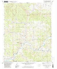
1984 Map of Pagosa Junction
USGS Topo · Published 1984About this map
The San Juan River snakes across the high-desert borderlands between Colorado and New Mexico, anchoring a landscape shaped by indigenous heritage and early railroad expansion. The settlement of Pagosa Junction (Gato) stands as a primary point of interest, situated near the intersection of the Southern Ute Indian Reservation and the Jicarilla Indian Reservation. The terrain is deeply incised by drainages like Garcia Canyon, Gomez Canyon, and the distinct Cat Creek Gap.
Find a feature on this map
29 named features on this map. Tap any name to fly to it.
Don’t see what you’re looking for? This feature index may not catch every label — zoom into the map to look around manually.
Map Details
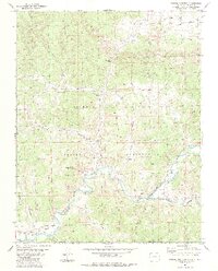
Editions of this 1984 Pagosa Junction Map
2 editions found
Other maps of this area

1889 · Largo
USGS Topo · 1:250,000

1895 · Largo
USGS Topo · 1:250,000

1924 · Pagosa Springs
USGS Topo · 1:125,000

1927 · Pagosa Springs
USGS Topo · 1:125,000

1945 · Durango
USGS Topo · 1:250,000

1953 · Durango
USGS Topo · 1:250,000

1954 · Durango
USGS Topo · 1:250,000

1954 · Carracas
USGS Topo · 1:24,000

1954 · Aztec
USGS Topo · 1:250,000

1957 · Pagosa Junction
USGS Topo · 1:62,500