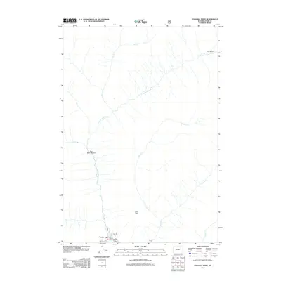
2012 Map of Pahaska Tepee
USGS Topo · Published 2012About this map
Pahaska Tepee serves as the focal point for this wilderness survey, situated where the N Fork Shoshone River meets a network of drainage creeks. The landscape is defined by the high elevations of Crow Peak and the open expanse of Sam Berry Meadow, illustrating the geographic isolation of this part of Park County. The map documents a rugged hydrography including W Grinnell Cr, Jones Cr, and Red Cr, which feed into the primary river system. Farther north, the presence of Camp Monaco suggests the area's long-standing connection to seasonal encampments and high-altitude exploration within the Shoshone National Forest region.
Find a feature on this map
12 named features on this map. Tap any name to fly to it.
Don’t see what you’re looking for? This feature index may not catch every label — zoom into the map to look around manually.
Map Details
Editions of this 2012 Pahaska Tepee Map
This is the sole edition of this map. No revisions or reprints were ever made.
Other maps of this area

1885 · Lake
USGS Topo · 1:125,000

1886 · Canyon
USGS Topo · 1:125,000

1893 · Ishawooa
USGS Topo · 1:125,000

1895 · Ishawooa
USGS Topo · 1:125,000

1895 · Canyon
USGS Topo · 1:125,000

1895 · Lake
USGS Topo · 1:125,000

1896 · Lake
USGS Topo · 1:125,000

1896 · Canyon
USGS Topo · 1:125,000

1896 · Crandall Creek
USGS Topo · 1:125,000

1899 · Crandall
USGS Topo · 1:125,000