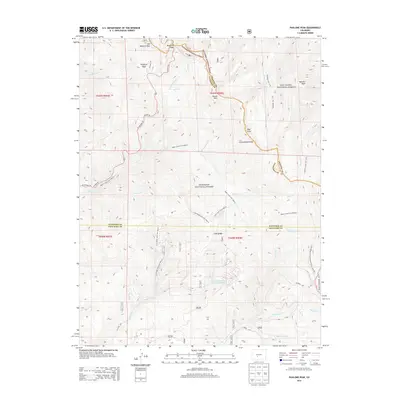
2013 Map of Pahlone Peak
USGS Topo · Published 2013About this map
The high alpine terrain along the Continental Divide defines this map, where the boundaries of Chaffee, Gunnison, and Saguache counties meet. This high-altitude landscape is characterized by its complex network of trails and passes, notably Monarch Pass and the higher Old Monarch Pass. The area supports significant recreational and industrial infrastructure, ranging from the Continental Divide National Scenic Trail to the Mine Wastewater Treatment Reservoir near Indian Creek. Deep drainage basins such as Agate Creek and Marshall Creek carve through the peaks, providing a rugged setting for specialized routes like the Lime Ridge Jeep Trail. The presence of Pahlone Peak and Mount Peck highlights the prominence of the Sawatch Range, while the extensive boundaries of the Gunnison National Forest and San Isabel National Forest reflect a landscape dedicated to resource management and preservation.
Find a feature on this map
36 named features on this map. Tap any name to fly to it.
Don’t see what you’re looking for? This feature index may not catch every label — zoom into the map to look around manually.
Map Details
Editions of this 2013 Pahlone Peak Map
This is the sole edition of this map. No revisions or reprints were ever made.
Other maps of this area

1940 · Garfield
USGS Topo · 1:62,500

1945 · Garfield
USGS Topo · 1:62,500

1956 · Poncha Springs
USGS Topo · 1:62,500

1956 · Montrose
USGS Topo · 1:250,000

1959 · Montrose
USGS Topo · 1:250,000

1959 · Bonanza
USGS Topo · 1:62,500

1960 · Montrose
USGS Topo · 1:250,000

1964 · Sargents
USGS Topo · 1:24,000

1967 · Sargents Mesa
USGS Topo · 1:24,000

1967 · Chester
USGS Topo · 1:24,000