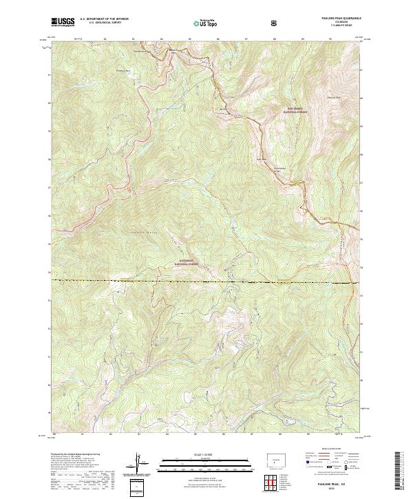
2022 Map of Pahlone Peak
USGS Topo · Published 2022About this map
Old Monarch Pass and the modern Monarch Pass dominate the northern crest of this high-altitude landscape, marking a critical crossing point between Gunnison National Forest and San Isabel National Forest. The map centers on the high ridges of the Sawatch Range, where the Continental Divide winds past summits like Mt Peck and Peel Point. This era shows a complex network of recreational and historic corridors, including the Continental Divide National Scenic Trail and the Colorado Trail. In the southern portion of the sheet, the terrain drops toward Marshall Creek, where specialized winter routes such as the Marshall Pass Snowmobile Trail and Millswitch Snowmobile Trail utilize the natural topography. The drainage patterns of Agate Creek and Lime Creek define the western slopes, providing a detailed look at the hydrology and trail systems used by modern backcountry travelers and researchers of the high Rockies.
Find a feature on this map
48 named features on this map. Tap any name to fly to it.
Don’t see what you’re looking for? This feature index may not catch every label — zoom into the map to look around manually.
Map Details
Editions of this 2022 Pahlone Peak Map
This is the sole edition of this map. No revisions or reprints were ever made.
Other maps of this area

1940 · Garfield
USGS Topo · 1:62,500

1945 · Garfield
USGS Topo · 1:62,500

1956 · Poncha Springs
USGS Topo · 1:62,500

1956 · Montrose
USGS Topo · 1:250,000

1959 · Montrose
USGS Topo · 1:250,000

1959 · Bonanza
USGS Topo · 1:62,500

1960 · Montrose
USGS Topo · 1:250,000

1964 · Sargents
USGS Topo · 1:24,000

1967 · Sargents Mesa
USGS Topo · 1:24,000

1967 · Chester
USGS Topo · 1:24,000