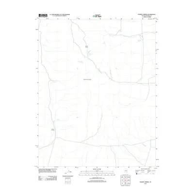
2012 Map of Pahroc Spring
USGS Topo · Published 2012About this map
The Pahroc Range and North Pahroc Range dominate this desert landscape in Lincoln County, where life and travel are defined by rare water sources. This 2012 survey by the U.S. Geological Survey captures a network of isolated water points, such as Pahroc Spring and Brinkerhoff Spring, which have long been vital markers for movement through the Great Basin. The terrain is deeply incised by the Boulder Wash and Miller Wash, showing a drainage system that leads from the highlands toward the broader valleys. To the northwest, Pahroc Canyon cuts through the range, while high-elevation points like Mustang Spring and West Side Spring suggest the high-desert character of the northern slopes. The map provides a clear look at the sparse road network connecting these springs, reflecting the enduring remote character of this part of Nevada.
Find a feature on this map
12 named features on this map. Tap any name to fly to it.
Don’t see what you’re looking for? This feature index may not catch every label — zoom into the map to look around manually.
Map Details
Editions of this 2012 Pahroc Spring Map
This is the sole edition of this map. No revisions or reprints were ever made.
Other maps of this area

1885 · Pioche
USGS Topo · 1:250,000

1886 · Pioche
USGS Topo · 1:250,000

1954 · Caliente
USGS Topo · 1:250,000

1959 · Caliente
USGS Topo · 1:250,000

1970 · Hiko NE
USGS Topo · 1:24,000
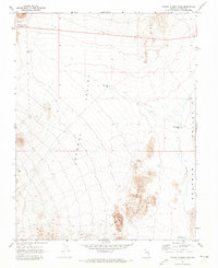
1970 · Pahroc Summit Pass
USGS Topo · 1:24,000

1970 · Hiko SE
USGS Topo · 1:24,000
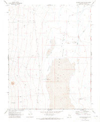
1970 · Deadman Spring SE
USGS Topo · 1:24,000
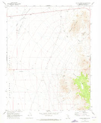
1970 · Pahroc Spring SE
USGS Topo · 1:24,000

1970 · Wheatgrass Spring
USGS Topo · 1:24,000