
1970 Map of Hiko SE
USGS Topo · Published 1973About this map
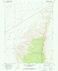
South Pahroc Range dominates the eastern half of this 1970 landscape, creating a stark geological boundary between the wide expanse of Six Mile Flat to the west and the higher floor of Pahroc Valley to the east. The terrain is defined by its industrial and resource-related marks, showing a land utilized for more than just passage. Local history researchers can identify specific markers of development including a Water Tank and a Borrow Pit located near the northern boundary. Small-scale mining activity is evident through a solitary Mine and a nearby Prospect on the eastern slopes, while a Drill Hole in the northern flats suggests subsurface exploration during this era of Nevada's land management. The sparse network of Jeep Trails provides the primary means of navigating the arid basins and steep ridges.
Find a feature on this map
10 named features on this map. Tap any name to fly to it.
Don’t see what you’re looking for? This feature index may not catch every label — zoom into the map to look around manually.
Map Details
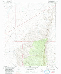
Editions of this 1970 Hiko SE Map
3 editions found
Other maps of this area

1885 · Pioche
USGS Topo · 1:250,000

1886 · Pioche
USGS Topo · 1:250,000

1945 · Alamo
USGS Topo · 1:125,000

1954 · Caliente
USGS Topo · 1:250,000

1959 · Caliente
USGS Topo · 1:250,000

1969 · Alamo NE
USGS Topo · 1:24,000

1969 · Delamar NW
USGS Topo · 1:24,000

1969 · Ash Springs
USGS Topo · 1:24,000

1970 · Hiko NE
USGS Topo · 1:24,000
1970 · Pahroc Summit Pass
USGS Topo · 1:24,000