
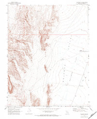
1969 Map of Delamar NW
USGS Topo · Published 1973About this map
The South Pahroc Range dominates the western portion of this 1969 field survey, its steep contours contrasting with the expansive basin to the east. This transition from mountainous terrain into the Delamar Valley reveals a landscape managed for water access in an arid environment. The presence of the Cyanide Reservoir and Chalk Reservoir indicates the critical infrastructure required for ranching or industrial activity during this era.
Find a feature on this map
12 named features on this map. Tap any name to fly to it.
Don’t see what you’re looking for? This feature index may not catch every label — zoom into the map to look around manually.
Map Details
Editions of this 1969 Delamar NW Map
2 editions found
Other maps of this area

1885 · Pioche
USGS Topo · 1:250,000

1886 · Pioche
USGS Topo · 1:250,000

1945 · Alamo
USGS Topo · 1:125,000

1954 · Caliente
USGS Topo · 1:250,000

1959 · Caliente
USGS Topo · 1:250,000

1969 · Alamo SE
USGS Topo · 1:24,000

1969 · Delamar
USGS Topo · 1:24,000

1969 · Gregerson Basin
USGS Topo · 1:24,000

1969 · Alamo NE
USGS Topo · 1:24,000
1969 · Delamar Lake
USGS Topo · 1:24,000