1970 Map of Hiko SE
USGS Topo · Published 1992About this map
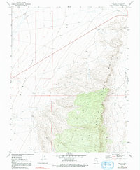
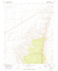
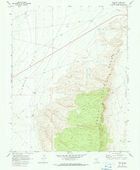
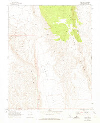
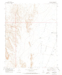
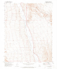
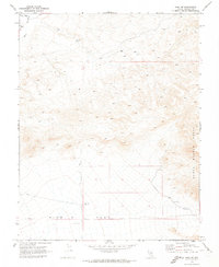
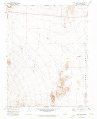
South Pahroc Range dominates the eastern half of this sheet, rising sharply above the expansive alluvial basins of Six Mile Flat and Pahroc Valley. Based on 1969 aerial photography and field-checked in 1970, the map documents a landscape primarily defined by its physical geography and limited human intervention. Activity in the area is localized around resource extraction and range management, indicated by a Mine and Prospect located along the eastern slopes of the range, along with several Drill Holes and a Borrow Pit in the northern flats.
Find a feature on this map
11 named features on this map. Tap any name to fly to it.
Don’t see what you’re looking for? This feature index may not catch every label — zoom into the map to look around manually.
Map Details
Editions of this 1970 Hiko SE Map
3 editions found
Other maps of this area

1885 · Pioche
USGS Topo · 1:250,000

1886 · Pioche
USGS Topo · 1:250,000
1945 · Alamo
USGS Topo · 1:125,000

1954 · Caliente
USGS Topo · 1:250,000

1959 · Caliente
USGS Topo · 1:250,000
1969 · Alamo NE
USGS Topo · 1:24,000
1969 · Delamar NW
USGS Topo · 1:24,000
1969 · Ash Springs
USGS Topo · 1:24,000
1970 · Hiko NE
USGS Topo · 1:24,000
1970 · Pahroc Summit Pass
USGS Topo · 1:24,000