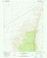
1970 Map of Hiko SE
USGS Topo · Published 1990About this map
The high elevation of the South Pahroc Range dominates the eastern half of this Lincoln County quadrangle, surveyed in the late 1960s. This landform acts as a massive natural barrier between the wide, level expanse of Six Mile Flat to the west and the Pahroc Valley on the eastern margin. The landscape reflects a mix of resource exploration and high-desert infrastructure typical of the era, marked by isolated sites for extraction and water management. Evidence of industrial interest is scattered across the slopes and flats, including a designated Mine and a Prospect tucked into the mountain foothills. Low-impact transit is represented by a series of primitive routes, including a primary Jeep Trail, while utilitarian features like a Drill Hole, Borrow Pit, and a Water Tank indicate the ongoing human activity required to maintain operations in this arid environment.
Find a feature on this map
10 named features on this map. Tap any name to fly to it.
Don’t see what you’re looking for? This feature index may not catch every label — zoom into the map to look around manually.
Map Details
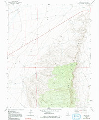
Editions of this 1970 Hiko SE Map
3 editions found

Other maps of this area

1885 · Pioche
USGS Topo · 1:250,000

1886 · Pioche
USGS Topo · 1:250,000

1945 · Alamo
USGS Topo · 1:125,000

1954 · Caliente
USGS Topo · 1:250,000

1959 · Caliente
USGS Topo · 1:250,000

1969 · Alamo NE
USGS Topo · 1:24,000

1969 · Delamar NW
USGS Topo · 1:24,000

1969 · Ash Springs
USGS Topo · 1:24,000

1970 · Hiko NE
USGS Topo · 1:24,000
1970 · Pahroc Summit Pass
USGS Topo · 1:24,000