Loading...
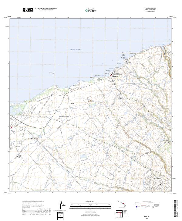
Loading map...2024 Map of Paia
USGS Topo · Published 2024About this map
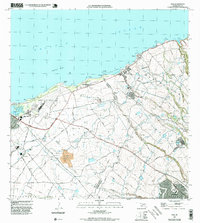
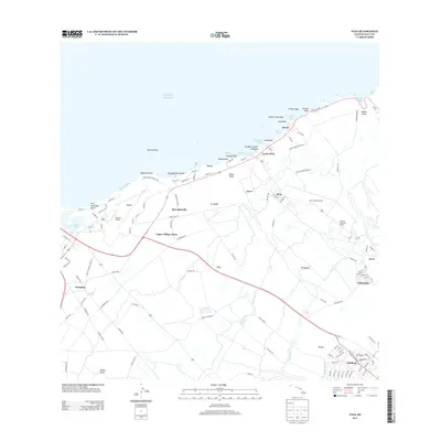
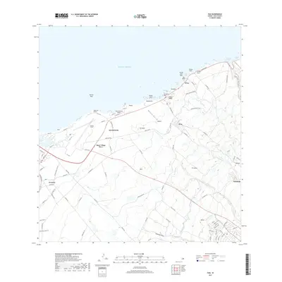
Spreckelsville Beach and the coastal settlements of Lower Pa'ia and Ku'au define the northern edge of this Maui landscape, where the Pacific Ocean meets a complex network of agricultural irrigation. The map reveals an intricate system of water management essential to the island's history, including the Lowrie Ditch, Kanikoa Ditch, and Hamakua Ditch, which carve through the terrain toward Hali'imaile.
Find a feature on this map
118 named features on this map. Tap any name to fly to it.
Don’t see what you’re looking for? This feature index may not catch every label — zoom into the map to look around manually.
Map Details
Date Portrayed2024
Date Published2024
PublisherU.S. Geological Survey
Map TypeTopographic
Scale1:24,000
Physical Dimensions24 x 29 inches
Editions of this 2024 Paia Map
This is the sole edition of this map. No revisions or reprints were ever made.
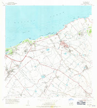
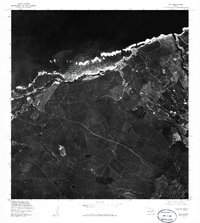
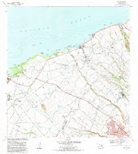
Historical Maps of Kahului Through Time
7 maps found
Featured Locations
Source Details
SourceU.S. Geological Survey
CopyrightPublic Domain