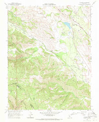
1968 Map of Paicines
USGS Topo · Published 1971About this map
The San Andreas Rift Zone dominates this geographic study of the California Coast Ranges, cutting a distinct northwest-southeast path through the Gabilan Range. The settlement of Paicines and the sprawling Paicines Ranch sit at the confluence of the San Benito River and Tres Pinos Creek, where the valley floor transitions into high, complex terrain. This 1968 survey reveals a landscape primarily dedicated to ranching and resource extraction, with a Gravel Pit and Limekiln marking local industrial activity. Local education is anchored by rural schoolhouses such as Willow Grove Sch and Cienega Sch, while the rugged southern heights are defined by McPhails Peak and a network of firebreaks and jeep trails. Transportation follows the natural contours of the rift, with Panoche Road and Cienega Road serving as the primary corridors through the Cienega Valley.
Find a feature on this map
42 named features on this map. Tap any name to fly to it.
Don’t see what you’re looking for? This feature index may not catch every label — zoom into the map to look around manually.
Map Details
Editions of this 1968 Paicines Map
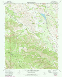
2 editions found
Other maps of this area

1910 · Gonzales
USGS Topo · 1:31,680

1919 · San Benito
USGS Topo · 1:62,500

1919 · Hollister
USGS Topo · 1:48,000

1921 · Gonzales
USGS Topo · 1:62,500

1921 · Hollister
USGS Topo · 1:62,500

1922 · Quien Sabe
USGS Topo · 1:62,500

1923 · Hollister
USGS Topo · 1:62,500

1931 · San Benito
USGS Topo · 1:62,500

1940 · Hollister
USGS Topo · 1:62,500

1940 · Quien Sabe
USGS Topo · 1:62,500