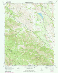
1968 Map of Paicines
USGS Topo · Published 1984About this map
The San Andreas Rift Zone dominates this 1968 landscape, slicing northwest to southeast through the rugged canyons of the Gabilan Range. Along this geologic boundary, the map records the rural settlement of Paicines, where the San Benito River and Tres Pinos Creek converge. The area reflects a late-1960s ranching and agricultural economy, characterized by the expansive Paicines Ranch, scattered wells, and specialized infrastructure like the Aqueduct and several pipelines.
Find a feature on this map
45 named features on this map. Tap any name to fly to it.
Don’t see what you’re looking for? This feature index may not catch every label — zoom into the map to look around manually.
Map Details
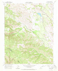
Editions of this 1968 Paicines Map
2 editions found
Other maps of this area

1910 · Gonzales
USGS Topo · 1:31,680

1919 · San Benito
USGS Topo · 1:62,500

1919 · Hollister
USGS Topo · 1:48,000

1921 · Gonzales
USGS Topo · 1:62,500

1921 · Hollister
USGS Topo · 1:62,500

1922 · Quien Sabe
USGS Topo · 1:62,500

1923 · Hollister
USGS Topo · 1:62,500

1931 · San Benito
USGS Topo · 1:62,500

1940 · Hollister
USGS Topo · 1:62,500

1940 · Quien Sabe
USGS Topo · 1:62,500