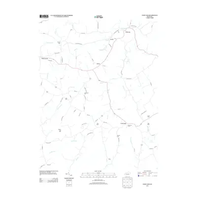
2013 Map of Paint Lick
USGS Topo · Published 2013About this map
Paint Lick sits at the northern edge of this landscape, where the namesake Paint Lick Cr meanders through the boundary between Garrard and Madison counties. This modern topographic study reveals a rural Kentucky community defined by its winding waterways and significant topographic rises, such as Graveyard Hill and Button Lick Knob. The network of local roads, including Old Railroad Grade Rd, preserves the memory of former transport corridors that once linked settlements like Lowell and Manse to the larger regional economy.
Find a feature on this map
75 named features on this map. Tap any name to fly to it.
Don’t see what you’re looking for? This feature index may not catch every label — zoom into the map to look around manually.
Map Details
Editions of this 2013 Paint Lick Map
This is the sole edition of this map. No revisions or reprints were ever made.
Other maps of this area

1892 · Richmond
USGS Topo · 1:125,000

1893 · London
USGS Topo · 1:125,000

1897 · Richmond
USGS Topo · 1:125,000

1897 · London
USGS Topo · 1:125,000

1905 · Harrodsburg
USGS Topo · 1:125,000

1952 · Berea
USGS Topo · 1:24,000

1952 · Crab Orchard
USGS Topo · 1:24,000

1952 · Buckeye
USGS Topo · 1:24,000

1952 · Paint Lick
USGS Topo · 1:24,000

1952 · Lancaster
USGS Topo · 1:24,000