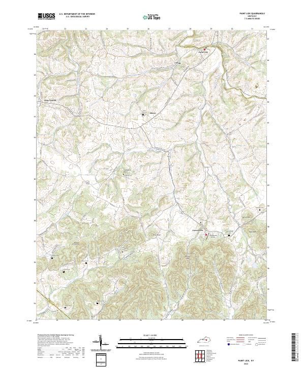
2022 Map of Paint Lick
USGS Topo · Published 2022About this map
The borderlands of Garrard, Madison, and Lincoln counties center on the winding course of Paint Lick Creek, where the communities of Paint Lick and Cartersville anchor a landscape defined by rolling knobs and narrow valleys. This area reflects a deep-rooted agricultural and rural settlement pattern, evidenced by the numerous family and community burial grounds such as Carpenter Cem, Stringtown Cem, and Vanhock Cem. The physical geography is marked by significant rises like Pine Knob and Steve Knob, while the human imprint includes the small Cartersville Airport and the lingering tracks of an Old Railroad Grade Rd near Lowell.
Find a feature on this map
79 named features on this map. Tap any name to fly to it.
Don’t see what you’re looking for? This feature index may not catch every label — zoom into the map to look around manually.
Map Details
Editions of this 2022 Paint Lick Map
This is the sole edition of this map. No revisions or reprints were ever made.
Other maps of this area

1892 · Richmond
USGS Topo · 1:125,000

1893 · London
USGS Topo · 1:125,000

1897 · Richmond
USGS Topo · 1:125,000

1897 · London
USGS Topo · 1:125,000

1905 · Harrodsburg
USGS Topo · 1:125,000

1952 · Berea
USGS Topo · 1:24,000

1952 · Crab Orchard
USGS Topo · 1:24,000

1952 · Buckeye
USGS Topo · 1:24,000

1952 · Paint Lick
USGS Topo · 1:24,000

1952 · Lancaster
USGS Topo · 1:24,000