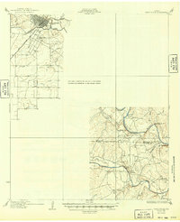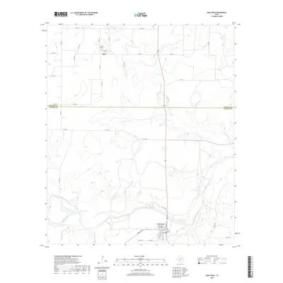
1967 Map of Paint Rock
USGS Topo · Published 1969About this map
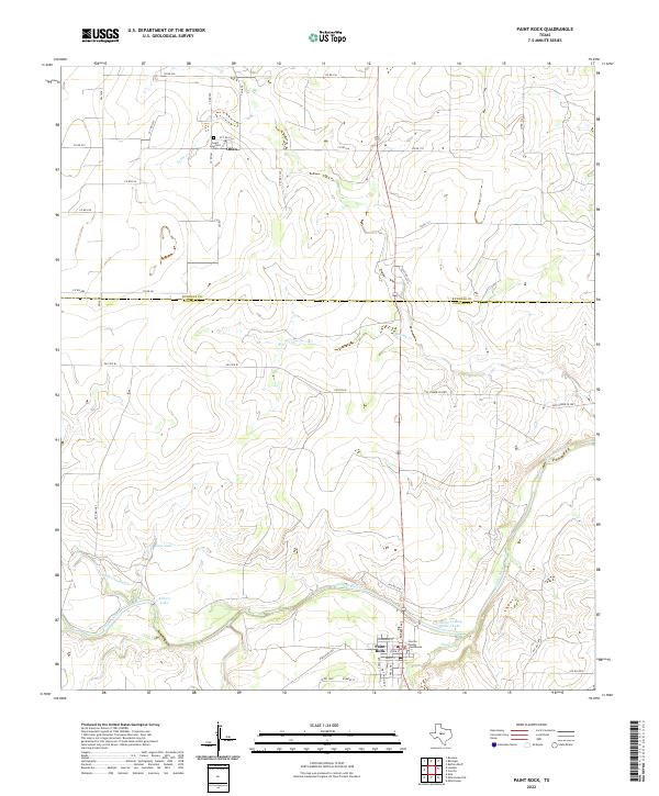
The Concho River and its multiple tributaries define this central Texas landscape at the junction of Runnels and Concho Counties. In the southern portion of the sheet, the town of Paint Rock sits near the river's bend, supported by essential mid-century infrastructure like a Filtration Plant and a Gaging Sta. This area is most noted for the Indian Pictographs located along the river bluffs, offering a rare cartographic record of this cultural site. To the north, the small settlement of Olfen remains anchored by religious and community life centered around St Boniface Ch and its adjacent St Boniface Cem. The map illustrates a rural economy shifting between traditional ranching and newer developments, seen in the numerous Gravel Pits and scattered Oil Wells, while a Landing Strip and Ball Field suggest the growing recreational and transportation needs of the late 1960s.
Find a feature on this map
21 named features on this map. Tap any name to fly to it.
Don’t see what you’re looking for? This feature index may not catch every label — zoom into the map to look around manually.
Map Details
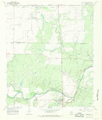
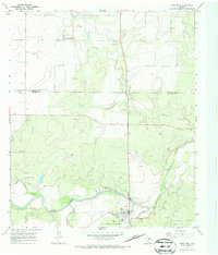
Editions of this 1967 Paint Rock Map
2 editions found
Historical Maps of Paint Rock Through Time
7 maps found