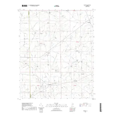
2018 Map of Painter
USGS Topo · Published 2018About this map
Sand Mountain dominates the landscape of this plateau region in northeast Alabama, where the drainages of Shoal Cr and Whippoorwill Cr carve into the upland. The area is defined by a dense network of rural communities such as Geraldine, Painter, and Kilpatrick, linked by a system of county roads and named routes like Valder Johnson Rd and Pea Ridge Rd. The map reveals a land heavily utilized for agriculture and small-town residency, with numerous small family and church burial grounds scattered throughout, including Dalrymple Cem and Lowrey Cem. A series of significant river crossings, such as Luther Bridge and Green Ford Bridge, highlight the historical importance of the Scarham Cr waterway system for local transit. The transition from Marshall Co to DeKalb Co is marked by subtle shifts in the road grid and the concentration of settlements like Whiton and Five Forks.
Find a feature on this map
65 named features on this map. Tap any name to fly to it.
Don’t see what you’re looking for? This feature index may not catch every label — zoom into the map to look around manually.
Map Details
Editions of this 2018 Painter Map
This is the sole edition of this map. No revisions or reprints were ever made.
Other maps of this area

1885 · Gadsden
USGS Topo · 1:125,000

1888 · Gadsden
USGS Topo · 1:125,000

1892 · Gadsden
USGS Topo · 1:125,000

1893 · Fort Payne
USGS Topo · 1:125,000

1895 · Gadsden
USGS Topo · 1:125,000

1898 · Fort Payne
USGS Topo · 1:125,000

1900 · Fort Payne
USGS Topo · 1:125,000

1903 · Gadsden
USGS Topo · 1:125,000

1936 · Painter
USGS Topo · 1:24,000

1936 · Crossville
USGS Topo · 1:24,000