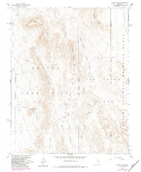
1961 Map of Paiute Ridge
USGS Topo · Published 1984About this map
The Nevada Test Site dominates this 1961 landscape, a high-desert expanse defined by the intersection of military operations and atomic-era research. Co-managed with the Atomic Energy Commission, the area is subdivided into specialized zones such as Area 9, Area 7, and Area 3, while the eastern portion falls within the Nellis Air Force Range and the Desert National Wildlife Range. A network of unpaved tracks and a Jeep Trail provide the only access through the basin and range terrain.
Find a feature on this map
24 named features on this map. Tap any name to fly to it.
Don’t see what you’re looking for? This feature index may not catch every label — zoom into the map to look around manually.
Map Details
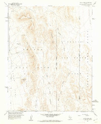
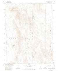
Editions of this 1961 Paiute Ridge Map
3 editions found
Other maps of this area

1907 · Las Vegas
USGS Topo · 1:250,000

1908 · Kawich
USGS Topo · 1:250,000

1908 · Furnace Creek
USGS Topo · 1:250,000

1908 · Las Vegas
USGS Topo · 1:250,000

1910 · Furnace Creek
USGS Topo · 1:250,000

1942 · Emigrant Valley
USGS Topo · 1:125,000

1942 · Indian Spring
USGS Topo · 1:125,000

1942 · Wheelbarrow Peak
USGS Topo · 1:125,000

1942 · Skull Mountain
USGS Topo · 1:125,000

1948 · Death Valley
USGS Topo · 1:250,000