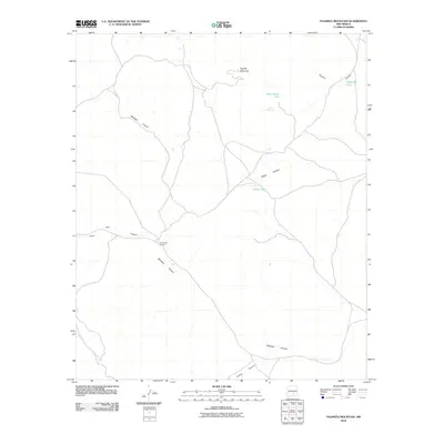
2010 Map of Pajarita Mountain
USGS Topo · Published 2010About this map
Pajarita Mountain serves as the high ground in this arid reach of Otero County, where the landscape is defined by an intricate network of drainages and seasonal water sources. The map reveals the practical necessities of ranching and land management through features like Cow Camp Number 1 and several isolated water precisions, including Rock House Tank and Yellow Tank. These sites, along with Rock Spring, represent the essential infrastructure for life and livestock in a region dominated by winding geological features.
Find a feature on this map
11 named features on this map. Tap any name to fly to it.
Don’t see what you’re looking for? This feature index may not catch every label — zoom into the map to look around manually.
Map Details
Editions of this 2010 Pajarita Mountain Map
This is the sole edition of this map. No revisions or reprints were ever made.
Other maps of this area

1955 · Roswell
USGS Topo · 1:250,000

1958 · Roswell
USGS Topo · 1:250,000

1961 · Lincoln
USGS Topo · 1:62,500

1962 · Roswell
USGS Topo · 1:250,000

1963 · Clements Ranch
USGS Topo · 1:24,000

1963 · Turkey Peak
USGS Topo · 1:24,000

1963 · Deadman Lake
USGS Topo · 1:24,000

1963 · Ruidoso Downs
USGS Topo · 1:24,000
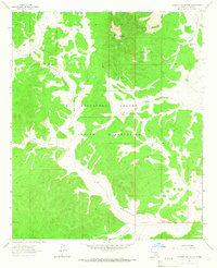
1963 · Pajarita Mountain
USGS Topo · 1:24,000
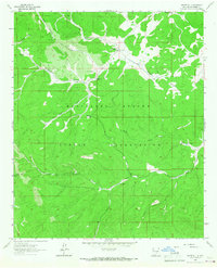
1963 · Whitetail
USGS Topo · 1:24,000