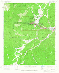
1963 Map of Whitetail
USGS Topo · Published 1967About this map
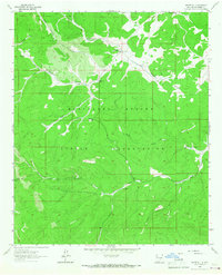
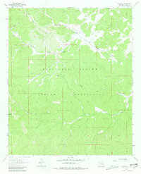
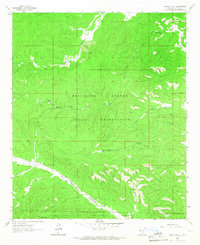
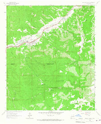
The Mescalero Apache Indian Reservation defines the landscape of this 1963 survey, where high-altitude ridges and deep canyons dictate the pattern of settlement and water management. The small community of Whitetail serves as the focal point, situated near a series of vital water sources including Whitetail Springs and the nearby Whitetail Well. Evidence of early 20th-century life and local genealogy is anchored by the Whitetail Cem, while the higher elevations of the Sacramento Mountains are marked by the Lookout Tower on Harley Mtn.
Find a feature on this map
27 named features on this map. Tap any name to fly to it.
Don’t see what you’re looking for? This feature index may not catch every label — zoom into the map to look around manually.
Map Details
Editions of this 1963 Whitetail Map
2 editions found
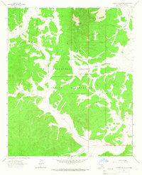
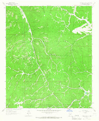
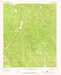
Other maps of this area

1955 · Roswell
USGS Topo · 1:250,000

1958 · Roswell
USGS Topo · 1:250,000

1961 · Lincoln
USGS Topo · 1:62,500

1962 · Roswell
USGS Topo · 1:250,000
1963 · Turkey Peak
USGS Topo · 1:24,000
1963 · Ruidoso Downs
USGS Topo · 1:24,000
1963 · Ruidoso
USGS Topo · 1:24,000
1963 · Pajarita Mountain
USGS Topo · 1:24,000
1963 · Firman Canyon
USGS Topo · 1:24,000
1963 · Apache Summit
USGS Topo · 1:24,000