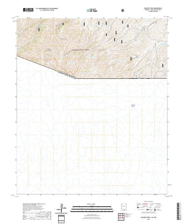
2021 Map of Pajarito Peak
USGS Topo · Published 2021About this map
The Pajarito Mountains define the international borderlands of Arizona, where the Coronado National Forest meets the boundary with the United States of America and Mexico. The terrain is marked by high summits like Pajarito Peak and Mojohave Ridge, carved by deep drainage systems including Peña Blanca Canyon, Walker Canyon, and Alamo Canyon.
Find a feature on this map
33 named features on this map. Tap any name to fly to it.
Don’t see what you’re looking for? This feature index may not catch every label — zoom into the map to look around manually.
Map Details
Editions of this 2021 Pajarito Peak Map
This is the sole edition of this map. No revisions or reprints were ever made.
Other maps of this area

1905 · Nogales
USGS Topo · 1:125,000

1921 · Old Glory
USGS Topo · 1:125,000

1933 · Calabasas
USGS Topo · 1:62,500

1942 · Ruby
USGS Topo · 1:62,500

1943 · Old Glory
USGS Topo · 1:125,000

1956 · Nogales
USGS Topo · 1:250,000
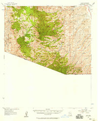
1957 · Ruby
USGS Topo · 1:62,500

1958 · Nogales
USGS Topo · 1:250,000
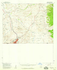
1958 · Nogales
USGS Topo · 1:62,500

1959 · Nogales
USGS Topo · 1:250,000