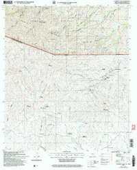
2004 Map of Pajarito Peak
USGS Topo · Published 2007About this map
Pajarito Peak dominates the northern half of this international border survey, anchoring the Pajarito Mountains within the Coronado National Forest. The landscape is a complex network of arroyos and canyons, including Alamo Canyon and Calabasas Canyon, which serve as natural corridors across the high desert terrain. Local industry is evidenced by several mineral extraction sites such as the Sunset Mine, Big Steve Mine, and the White Oak Mine.
Find a feature on this map
86 named features on this map. Tap any name to fly to it.
Don’t see what you’re looking for? This feature index may not catch every label — zoom into the map to look around manually.
Map Details
Editions of this 2004 Pajarito Peak Map
This is the sole edition of this map. No revisions or reprints were ever made.
Other maps of this area

1905 · Nogales
USGS Topo · 1:125,000

1921 · Old Glory
USGS Topo · 1:125,000

1933 · Calabasas
USGS Topo · 1:62,500

1942 · Ruby
USGS Topo · 1:62,500

1943 · Old Glory
USGS Topo · 1:125,000

1956 · Nogales
USGS Topo · 1:250,000
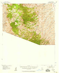
1957 · Ruby
USGS Topo · 1:62,500

1958 · Nogales
USGS Topo · 1:250,000
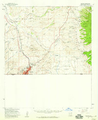
1958 · Nogales
USGS Topo · 1:62,500

1959 · Nogales
USGS Topo · 1:250,000