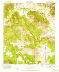
1949 Map of Pala
USGS Topo · Published 1956About this map
Pala sits along the San Luis Rey River at the northern edge of this territory, where the historic Mission remains a central landmark within the Pala Indian Reservation. The terrain is defined by the steep elevation of Weaver Mtn and Heriot Mtn, falling away into the fertile Pauma Valley. Resource extraction and water management characterize the post-war landscape, evidenced by the Katerine Mine and Fargo Mine in the north, and the prominent path of the San Diego Aqueduct cutting southward. Infrastructure like the Lilac Tunnel and a private Airfield near the southern border suggest a period of transition as remote ranching operations like Agua Tibia Ranch and Rancho Lilac integrated with regional networks. These developments contrast with the protected lands of the Cleveland National Forest, preserving the complex drainage of Gomez Creek and Keys Canyon Creek.
Find a feature on this map
34 named features on this map. Tap any name to fly to it.
Don’t see what you’re looking for? This feature index may not catch every label — zoom into the map to look around manually.
Map Details
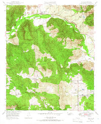
Editions of this 1949 Pala Map
2 editions found
Other maps of this area

1893 · Escondido
USGS Topo · 1:62,500

1901 · Escondido
USGS Topo · 1:62,500

1901 · San Luis Rey
USGS Topo · 1:125,000

1903 · Ramona
USGS Topo · 1:125,000

1904 · Southern California Sheet No. 2
USGS Topo · 1:250,000

1939 · Palomar Mountain
USGS Topo · 1:62,500

1942 · Temecula
USGS Topo · 1:62,500

1942 · Escondido
USGS Topo · 1:62,500

1942 · Ramona
USGS Topo · 1:62,500

1947 · Ramona
USGS Topo · 1:62,500