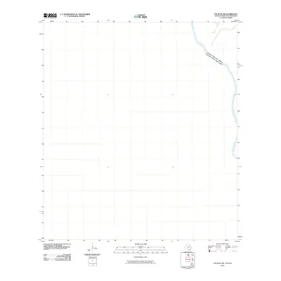
2010 Map of Palafox SW
USGS Topo · Published 2010About this map
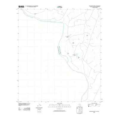
The Rio Grande serves as the dominant geographic and political focal point in this sparsely labeled section of the international border between Texas and Coahuila. This 2010 survey emphasizes the serpentine path of the river, which acts as the physical boundary separating the United States of America from the Estados Unidos Mexicanos. Because the map covers a largely undeveloped arid landscape, the emphasis is placed on the precise hydrology and the geopolitical demarcation of the two nations. This provides a clear view of the river's course through the Chihuahuan Desert landscape before any significant modern shifts or shoreline developments altered its trajectory in the Palafox SW quadrangle.
Find a feature on this map
2 named features on this map. Tap any name to fly to it.
Don’t see what you’re looking for? This feature index may not catch every label — zoom into the map to look around manually.
Map Details
Editions of this 2010 Palafox SW Map
This is the sole edition of this map. No revisions or reprints were ever made.
Other maps of this area

1923 · Palafox
USGS Topo · 1:62,500

1956 · Laredo
USGS Topo · 1:250,000
1982 · Pinto Creek
USGS Topo · 1:24,000
1983 · San Pedro Hill
USGS Topo · 1:24,000
1983 · Palafox SW
USGS Topo · 1:24,000
1983 · Fort McIntosh 3 NE
USGS Topo · 1:24,000
1983 · Big Apache Hill
USGS Topo · 1:24,000
1985 · Laredo
USGS Topo · 1:100,000
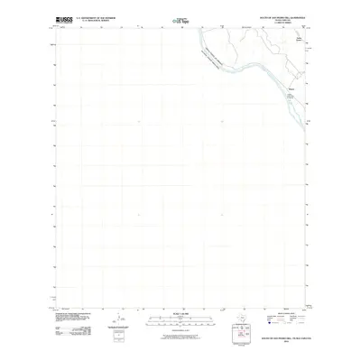
2010 · South of San Pedro Hill
USGS Topo · 1:24,000
2010 · Big Apache Hill
USGS Topo · 1:24,000