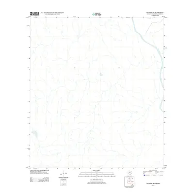
2013 Map of Palafox SW
USGS Topo · Published 2013About this map
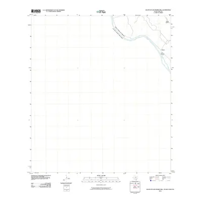
The Rio Grande flows along the eastern border of this borderland landscape, serving as a primary geographical marker in a region defined by its arid drainage patterns and sparse human infrastructure. In 2013, the terrain consists of numerous dry washes and intermittent stream beds that converge toward the river, illustrating the hydrological character of the Rio Grande valley. The absence of named settlements or major roads highlights the quiet, unpopulated nature of this specific quadrant, where the natural course of the water remains the most significant feature for those studying the binational boundary and its physical geography.
Find a feature on this map
1 named feature on this map. Tap any name to fly to it.
Don’t see what you’re looking for? This feature index may not catch every label — zoom into the map to look around manually.
Map Details
Editions of this 2013 Palafox SW Map
This is the sole edition of this map. No revisions or reprints were ever made.
Other maps of this area

1923 · Palafox
USGS Topo · 1:62,500

1956 · Laredo
USGS Topo · 1:250,000
1982 · Pinto Creek
USGS Topo · 1:24,000
1983 · San Pedro Hill
USGS Topo · 1:24,000
1983 · Palafox SW
USGS Topo · 1:24,000
1983 · Fort McIntosh 3 NE
USGS Topo · 1:24,000
1983 · Big Apache Hill
USGS Topo · 1:24,000
1985 · Laredo
USGS Topo · 1:100,000
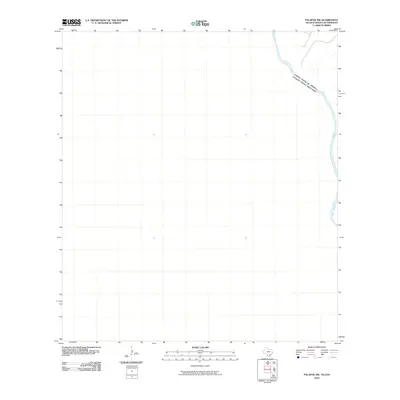
2010 · Palafox SW
USGS Topo · 1:24,000
2010 · South of San Pedro Hill
USGS Topo · 1:24,000