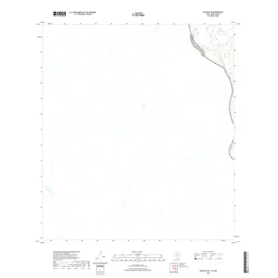
2019 Map of Palafox SW
USGS Topo · Published 2019About this map
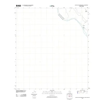
The Rio Grande serves as the central focal point of this Webb County survey, carving a meandering path that defines the international border between the United States of America and Estados Unidos Mexicanos. The landscape is characterized by the sparse, drainage-cut terrain typical of this stretch of the Texas-Mexico borderlands. While the map is predominantly open land, the intricate contour lines and hydrographic data detail the many small arroyos and tributaries that feed into the river. This 2019 edition provides a precise look at the modern shoreline and boundary alignment before any major contemporary shifts in the river's course or changes to the immediate riparian corridor.
Find a feature on this map
2 named features on this map. Tap any name to fly to it.
Don’t see what you’re looking for? This feature index may not catch every label — zoom into the map to look around manually.
Map Details
Editions of this 2019 Palafox SW Map
This is the sole edition of this map. No revisions or reprints were ever made.
Other maps of this area

1923 · Palafox
USGS Topo · 1:62,500

1956 · Laredo
USGS Topo · 1:250,000
1982 · Pinto Creek
USGS Topo · 1:24,000
1983 · San Pedro Hill
USGS Topo · 1:24,000
1983 · Palafox SW
USGS Topo · 1:24,000
1983 · Fort McIntosh 3 NE
USGS Topo · 1:24,000
1983 · Big Apache Hill
USGS Topo · 1:24,000
1985 · Laredo
USGS Topo · 1:100,000
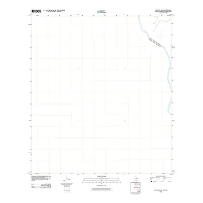
2010 · Palafox SW
USGS Topo · 1:24,000
2010 · South of San Pedro Hill
USGS Topo · 1:24,000