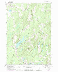
1961 Map of Palermo
USGS Topo · Published 1989About this map
The West Branch Sheepscot River winds through this central Maine landscape, where the town of Palermo serves as a focal point for several smaller rural crossroads. This 1961 record shows the region's mid-century distribution of small-scale agriculture and community hubs, including Palermo Sch and several family-named intersections like Sennetts Corner and Hutchins Corner. The terrain is defined by a dense network of water bodies, from the larger Sheepscot Pond and Dutton Pond to smaller marshes and brooks. Genealogists will find a high concentration of burial sites, including the Branch Mills Cem, Osgood Cem, and Libby Cem. The map captures a moment before significant modern development, with the landscape still dominated by named ridges such as Yorktown Ridge and Negro Ridge, reflecting the early names given by settlers to the high ground above the many valley ponds.
Find a feature on this map
58 named features on this map. Tap any name to fly to it.
Don’t see what you’re looking for? This feature index may not catch every label — zoom into the map to look around manually.
Map Details
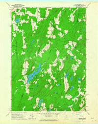
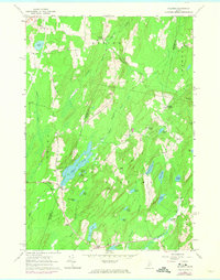
Editions of this 1961 Palermo Map
3 editions found
Other maps of this area

1892 · Waterville
USGS Topo · 1:62,500

1893 · Vassalboro
USGS Topo · 1:62,500

1898 · Vassalboro
USGS Topo · 1:62,500

1916 · Liberty
USGS Topo · 1:62,500

1926 · Burnham
USGS Topo · 1:62,500

1941 · Vassalboro
USGS Topo · 1:62,500

1942 · Liberty
USGS Topo · 1:62,500

1943 · Vassalboro
USGS Topo · 1:62,500

1943 · Waterville
USGS Topo · 1:62,500

1948 · Bangor
USGS Topo · 1:250,000