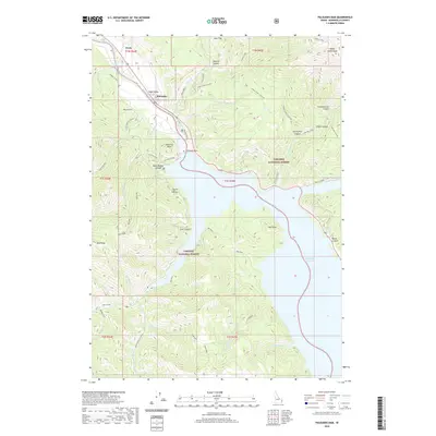
2020 Map of Palisades Dam
USGS Topo · Published 2020About this map
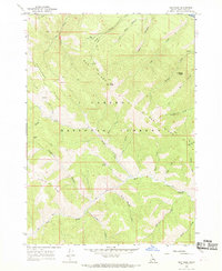
Palisades Dam stands as the central engineering feature of this landscape, impounding the Snake River to form the expansive Palisades Reservoir. The surrounding terrain is a complex network of steep canyons and high ridges, including Sheep Creek Peak and Poker Peak, split between the Targhee National Forest and Caribou National Forest. Settlement is concentrated in the northwest corner, where the community of Irwin and the village of Swan Valley sit near the river's path before it enters the canyon depths.
Find a feature on this map
60 named features on this map. Tap any name to fly to it.
Don’t see what you’re looking for? This feature index may not catch every label — zoom into the map to look around manually.
Map Details
Editions of this 2020 Palisades Dam Map
This is the sole edition of this map. No revisions or reprints were ever made.
Other maps of this area

1932 · Irwin
USGS Topo · 1:96,000

1935 · Irwin
USGS Topo · 1:125,000

1955 · Driggs
USGS Topo · 1:250,000

1958 · Driggs
USGS Topo · 1:250,000

1962 · Driggs
USGS Topo · 1:250,000
1966 · Palisades Peak
USGS Topo · 1:24,000
1966 · Alpine
USGS Topo · 1:24,000

1966 · Big Elk Mtn
USGS Topo · 1:24,000
1966 · Thompson Peak
USGS Topo · 1:24,000
1966 · Red Ridge
USGS Topo · 1:24,000