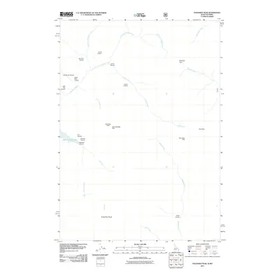
2011 Map of Palisades Peak
USGS Topo · Published 2011About this map
Palisades Peak and Little Palisades Peak dominate this high-elevation reach of the Snake River Range along the Idaho-Wyoming border. The landscape is defined by deep drainage systems and steep divides, where the waters of Upper Palisades Lake feed into Palisades Creek. Named canyons such as Ice Cove Canyon, Lorian Canyon, and Dead Man Canyon suggest a history of local exploration and difficult transit through the mountain passes. The map documents a primitive network of high-country routes, including the trek through Mosquito Pass and the descent into Austin Canyon. This 2011 survey captures the hydrological importance of the region, tracing the various forks of Corral Creek and the Siddoway Fork as they carve through the peaks of the backcountry. Notable landmarks like Starvation Peak and Mud Peak provide further orientation for those studying the geographic nomenclature of this corner of Bonneville County.
Find a feature on this map
28 named features on this map. Tap any name to fly to it.
Don’t see what you’re looking for? This feature index may not catch every label — zoom into the map to look around manually.
Map Details
Editions of this 2011 Palisades Peak Map
This is the sole edition of this map. No revisions or reprints were ever made.
Other maps of this area

1899 · Grand Teton
USGS Topo · 1:125,000

1901 · Grand Teton
USGS Topo · 1:125,000

1931 · Jackson
USGS Topo · 1:125,000

1932 · Irwin
USGS Topo · 1:96,000

1935 · Irwin
USGS Topo · 1:125,000

1935 · Jackson
USGS Topo · 1:125,000

1943 · Driggs
USGS Topo · 1:62,500

1946 · Driggs
USGS Topo · 1:62,500

1955 · Driggs
USGS Topo · 1:250,000

1958 · Driggs
USGS Topo · 1:250,000