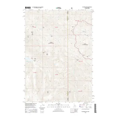
2015 Map of Palisades Peak
USGS Topo · Published 2015About this map
Upper Palisades Lake sits deep within the Snake River Range, marking a high-elevation point where the Targhee National Forest and Teton National Forest meet. This 2015 topography shows a landscape defined by dramatic drainage systems, including the complex headwaters of Palisades Creek and its various tributaries like E Fork Palisades Creek and N Fork Palisades Creek. The state line between Idaho and Wyoming runs through the eastern portion of the map, bisecting the Divide Trail as it traverses ridges between Mosquito Pass and Mud Peak. Named canyons such as Ice Cove Canyon, Dead Man Canyon, and Starvation Peak suggest a challenging historical environment for early travelers and surveyors navigating the high country between Bonneville and Teton counties.
Find a feature on this map
42 named features on this map. Tap any name to fly to it.
Don’t see what you’re looking for? This feature index may not catch every label — zoom into the map to look around manually.
Map Details
Editions of this 2015 Palisades Peak Map
This is the sole edition of this map. No revisions or reprints were ever made.
Other maps of this area

1899 · Grand Teton
USGS Topo · 1:125,000

1901 · Grand Teton
USGS Topo · 1:125,000

1931 · Jackson
USGS Topo · 1:125,000

1932 · Irwin
USGS Topo · 1:96,000

1935 · Irwin
USGS Topo · 1:125,000

1935 · Jackson
USGS Topo · 1:125,000

1943 · Driggs
USGS Topo · 1:62,500

1946 · Driggs
USGS Topo · 1:62,500

1955 · Driggs
USGS Topo · 1:250,000

1958 · Driggs
USGS Topo · 1:250,000